Host State Profile

Bihar, India

Bihar is an eastern Indian state with deep historical significance, high population density, and strong cultural continuity from ancient Magadha to present-day Patna.

This page is expanded from the Bihar Wikipedia article for conference delegates who want a fuller background of the host state.

Bihar: An introduction

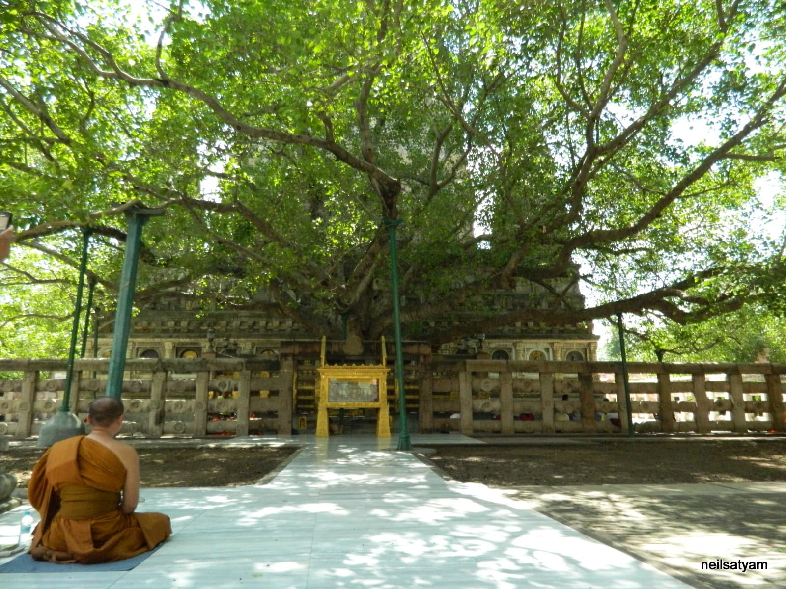
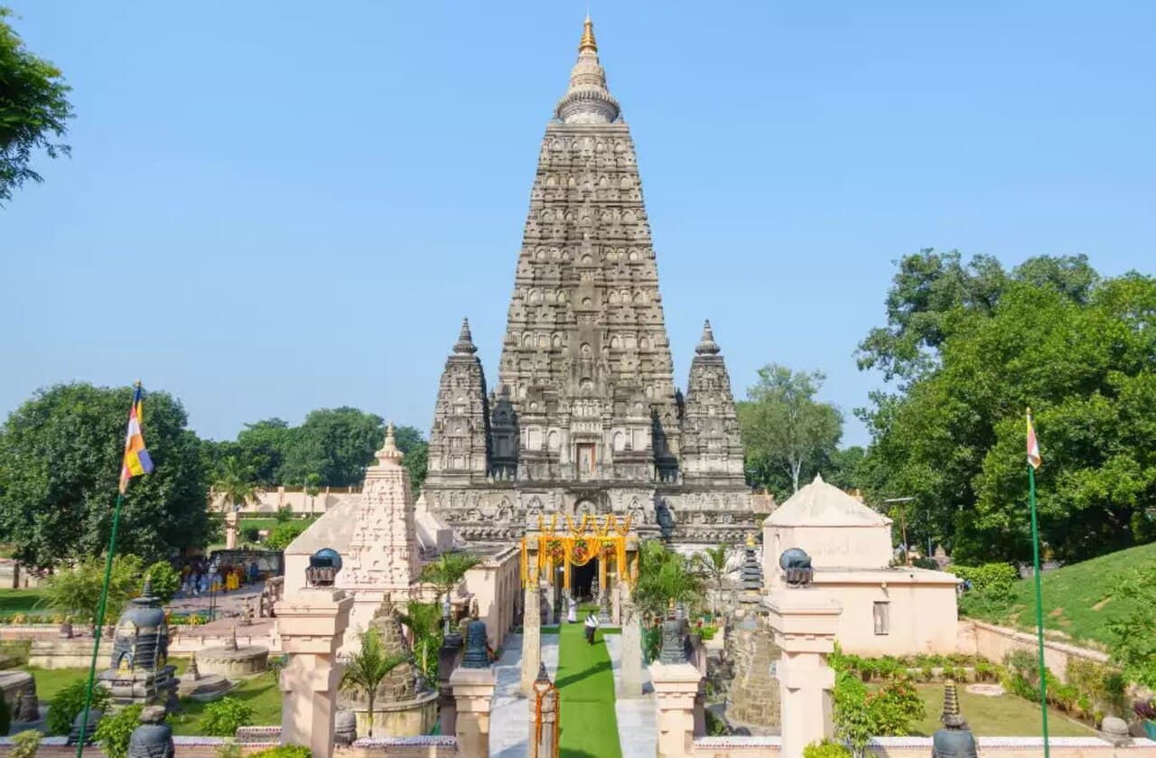
Bihar is a land historically associated with peace and non-violence and has long been a confluence of diverse religions and cultures. It is the sacred land where Gautama Buddha attained enlightenment at Bodh Gaya and where Mahavira propagated the message of non-violence (Ahimsa). The state is also the birthplace of Guru Gobind Singh, the tenth Sikh Guru.

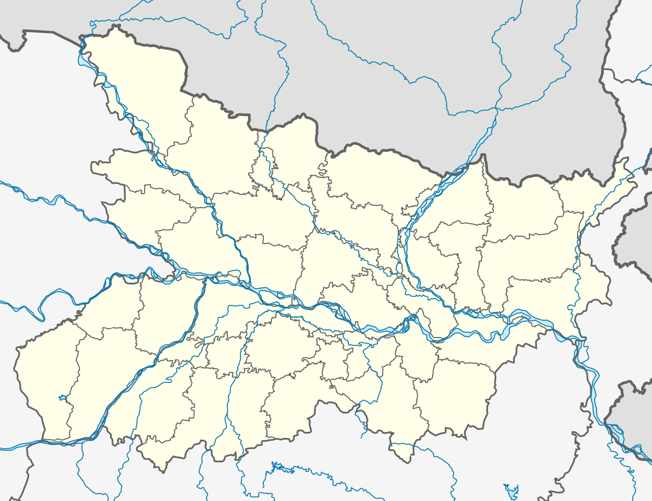
The capital city of Bihar is Patna, historically known as Pataliputra, which was once a prominent center of political and cultural activity in ancient India. Bihar was formally established as a separate province on March 22, 1912, after its separation from the Bengal Presidency.

Linguistically, the state is rich and diverse, with Maithili, Bhojpuri, Magahi, and Angika widely spoken across different regions. Hindi serves as the official language of the state.

Among its prominent cultural traditions is the festival of Chhath, a significant public celebration in which devotees offer prayers to the rising and setting sun. Bihar is also globally renowned for Madhubani painting, a traditional art form originating from the Mithila region.

The state has been home to several eminent personalities, including Rajendra Prasad, the first President of India and a recipient of the Bharat Ratna, and Ramdhari Singh Dinkar, a distinguished national poet.

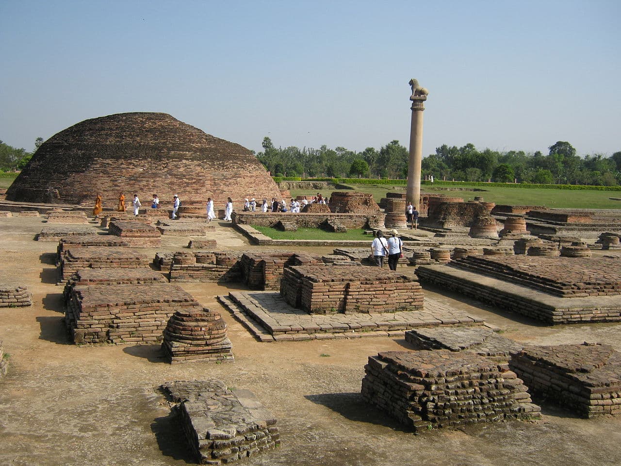
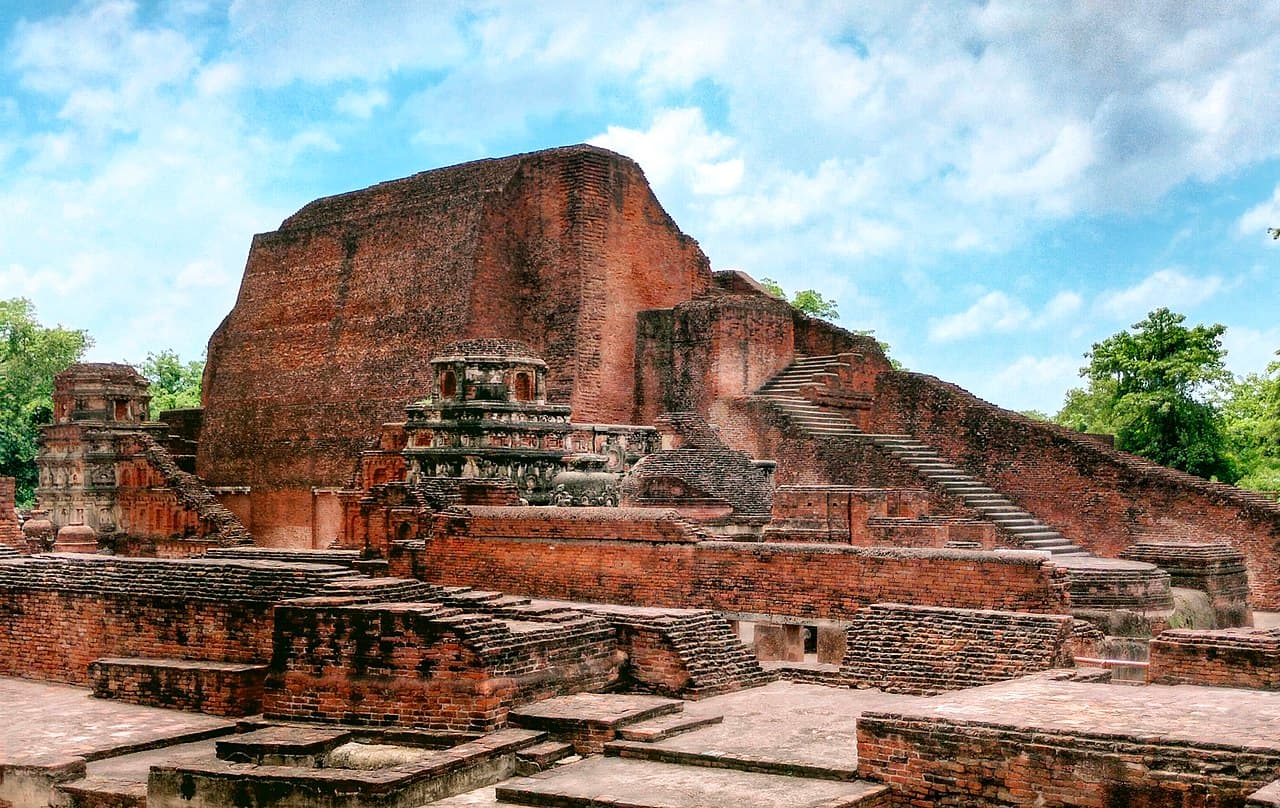
Bihar also holds a unique place in India's democratic and freedom movement history. It is associated with early republican traditions and was the site of Champaran Satyagraha, the first Satyagraha movement led by Mahatma Gandhi in India. Historically, the state has been a center of knowledge, science, art, and culture.

Bihar State Forensic Science Laboratory, Patna: A Bird's-Eye View

The State Forensic Science Laboratory (FSL), Bihar, located in Patna, was established in 1958 to provide scientific support to the criminal justice system.

During the initial phase, Shri G. Bhattacharya was appointed as Deputy Director, assisted by two Assistant Directors. On October 3, 1963, Dr. Satyendra Swaroop assumed charge as the first Director of the laboratory. From February 1964 onward, examination of exhibits related to the Biology Division commenced at the Forensic Science Laboratory, Patna.

In 1968, following the appointment of Assistant Directors, the Physics and Firearms Divisions began functioning. Between 1977 and 1983, several additional divisions were established and became operational, including Toxicology, General Chemistry, Explosives, and Serology (Serum) divisions.

To strengthen forensic services across the state, Regional Forensic Science Laboratories (RFSLs) were subsequently established at Muzaffarpur (1992), Bhagalpur (2013), and Rajgir (2024). All these laboratories are equipped with modern scientific instruments and infrastructure.

At present, 14 divisions are operational at the State Forensic Science Laboratory, Patna. In 2005, District Mobile Forensic Units were established in all 38 districts of Bihar. For each district unit, posts were created for one Reporting Assistant Director, one Senior Scientific Assistant, and one Driver to ensure effective forensic support at the district level.

Furthermore, posts have been sanctioned for nine additional Regional Forensic Science Laboratories at the following locations:

  1. Gaya
  2. West Champaran (Bettiah)
  3. Rohtas
  4. Saran
  5. Darbhanga
  6. Purnia
  7. Saharsa
  8. Munger
  9. Begusarai

The construction of buildings for all these regional laboratories is currently in the final stages.

Quick Facts about Bihar

Capital and largest city: Patna

Formed on 22 March 1912; current shape after Jharkhand separation in 2000

Area: about 94,163 sq. km

Administrative structure: 9 divisions and 38 districts

Official languages: Hindi and Urdu

State symbols include the Bodhi Tree and house sparrow

Location and district map of Bihar
Bihar Location Map

Historical Overview

Ancient era

Magadha and early empires

Bihar was core to ancient Magadha and later Maurya and Gupta power centers.

5th-12th century

Learning centers of global repute

Nalanda and Vikramashila are highlighted as major Buddhist learning institutions.

1912

Modern Bihar province

Bihar and Orissa were carved out of Bengal Presidency during colonial administration.

2000

State reorganization

Jharkhand was separated from Bihar, resulting in Bihar's present boundaries.

Ashokan Pillar in Vaishali Bihar
Ashokan Pillar, Vaishali

Detailed History

Ancient Period

  • Archaeological evidence at Chirand (Saran district) is cited from the Neolithic period (c. 2500-1345 BCE).
  • Ancient regions associated with present-day Bihar include Magadha, Mithila, and Anga, frequently referenced in early Indian texts.
  • Late Vedic-era Videha rose as a major political and cultural center; its rulers are referred to as Janakas.
  • Vaishali is noted in the history narrative as an early republican polity in the Vajji confederacy.
  • The Nanda and Maurya phases are central to Bihar's ancient political history, with Pataliputra (Patna) as a major imperial capital.
  • The Gupta Empire, originating from Magadha, is linked in the article with the classical 'Golden Age' of Indian intellectual history.

Medieval Period

  • The medieval section describes decline of major Buddhist institutions after invasions under Muhammad bin Bakhtiyar Khalji, including damage to Nalanda and Vikramashila.
  • The article notes differing historiographical interpretations on causes and scale of destruction in this period.
  • After the Pala period, dynasties in and around Mithila included the Karnat and Oiniwar lineages.
  • The Pithipatis of Bodh Gaya and the Khayaravala dynasty are also mentioned as medieval regional powers in Bihar.
  • Bihar remained a center of scholarship with major Buddhist and Hindu thinkers connected to institutions such as Nalanda and Vikramashila.
  • Sasaram is identified as the first capital of the Sur Empire under Sher Shah Suri.

Colonial Era

  • After the Battle of Buxar (1764), the East India Company gained diwani rights over Bihar, Bengal, and Odisha.
  • Colonial revenue extraction and agricultural-commercial restructuring expanded through the Bihar region in the late 18th and 19th centuries.
  • Bihar remained within the Bengal Presidency until 1912.
  • In 1912, Bihar and Orissa were separated from Bengal as a distinct province under British India.

Pre- and Post-Independence

  • The Champaran indigo agrarian struggles (1914 and 1916) preceded Gandhi's Champaran Satyagraha of 1917.
  • Bihar's nationalist mobilization involved leaders such as Rajendra Prasad, Shri Krishna Sinha, and Anugrah Narayan Sinha.
  • The Bihar Provincial Kisan Sabha (1929) later fed into the All India Kisan Sabha (1936), shaping peasant politics.
  • Post-1947 history includes prolonged agrarian conflict, uneven land reform outcomes, caste-linked violence, and Naxalite mobilizations in several districts.
  • State politics from the 1960s onward saw decline of single-party dominance and stronger assertion by backward-caste-led formations.
  • Bihar's modern territorial history includes the creation of Jharkhand in November 2000 from southern districts.
Nalanda archaeological remains in Bihar
Nalanda Archaeological Site

Geography & Climate

Land and River System

  • The Ganges flows west to east and broadly divides the state into north and south zones.
  • The northern plains are traversed by rivers such as Ghaghara, Gandak, Burhi Gandak, Bagmati, Kamla and Kosi.
  • Forest and wildlife include Valmiki National Park and Tiger Reserve in West Champaran.
  • Climate is subtropical with hot summers, monsoon rainfall, and cool winters.

Climate Pattern

  • Summer temperatures often rise above 35C in many districts, with hot winds in parts of south and central Bihar.
  • Monsoon generally arrives from June and drives most annual rainfall, with north Bihar often experiencing higher flood exposure.
  • Winter months (roughly November to February) are cooler and comparatively drier, making this period common for tourism and events.
  • Alluvial plains, river channels, and seasonal waterlogging patterns strongly influence settlement and agriculture.
Gandak river landscape in Bihar
The Gandak River

Population & Society

Demographic Profile

Bihar is one of India's youngest and most populous states, with rich linguistic and cultural diversity across regions.

  • 2011 population: 104,099,452 (among India's highest state populations).
  • Population density (2011): about 1,106 persons per sq. km.
  • A young age profile, with a large share of residents below 25 years.
  • Cultural-linguistic landscape includes Bhojpuri, Maithili, Magahi, Angika and Bajjika in wide use.
Bihar Museum building in Patna
Bihar Museum, Patna

Economy & Agriculture

Production and Services

  • Agriculture remains central, with rice, wheat, maize, pulses and sugarcane among major crops.
  • Wikipedia notes Bihar's leadership in litchi output and major contribution in makhana production.
  • Sector composition cited on Wikipedia shows a service-led economy with agriculture and industry as substantial contributors.
  • Emerging sectors include food processing, leather, and small manufacturing clusters.

Agriculture Profile

  • Major crops include paddy, wheat, maize, pulses, and sugarcane across different agro-climatic zones.
  • North Bihar's riverine belt supports horticulture and floodplain-linked agriculture, while other belts show mixed farming patterns.
  • Litchi and makhana are repeatedly identified as strong Bihar specialties in national and global markets.
  • Farm livelihoods are closely linked with monsoon cycles, irrigation, and river behavior.
Makhana (foxnut) from Bihar
Makhana (Foxnut), Bihar

Culture of Bihar

Paintings

  • Mithila painting (Madhubani art) is traditionally practised in the Mithila region and historically passed down by women across generations.
  • Traditional contexts include festivals, rites of passage, births, and marriages, originally on mud-plastered walls and now also on cloth, handmade paper, and canvas.
  • The style commonly depicts deities, celestial motifs, sacred plants (including tulsi), social scenes, and courtly life with little empty background space.
  • Other painting forms associated with Bihar include Patna Kalam (Patna School), Tikuli painting, Manjusha painting, and Bhojpuri wall painting traditions.
  • Contemporary practice has moved from domestic ritual walls to commercial art markets while retaining regional iconography.

Performing Arts

  • The state has documented links to Hindustani classical lineages, including dhrupad traditions such as the Darbhanga and Bettiah gharanas.
  • Bihar's musical history is associated with figures such as Ustad Bismillah Khan and poet Vidyapati in the broader Maithili musical tradition.
  • Gaya is referenced as a centre for classical forms including tappa and thumri.
  • Bhojpuri birha performance culture is tied to migration-era social memory and remains present in theatre circuits, including Patna.
  • Folk performance forms frequently referenced include Bidesia theatre, Jat-Jatin dance-drama, Domkach, Jhijhian, and Fagua songs.

Cinema

  • Bihar has a substantial Bhojpuri-language film industry and smaller Magadhi and Maithili film output.
  • Bhojpuri cinema roots are traced to early milestone films such as Ganga Jamuna (Bhojpuri dialogue) and Ganga Maiyya Tohe Piyari Chadhaibo.
  • Maithili cinema includes award-recognized films such as Mithila Makhaan.
  • The regional film ecosystem has moved through cycles of growth, decline, and revival across the 1960s to 2000s.
  • Hindi films connected to Bihar include works shot in the state and narratives set around Patna and north Indian social landscapes.

Festivals & Food

  • Chhath Puja is presented as Bihar's biggest and most widely observed festival, marked by sunrise-sunset offerings at rivers and ponds.
  • Durga Puja is also described as a major state-wide celebration with extensive urban and rural participation.
  • Festival listings include Makar Sankranti, Jur Sital, Ram Navami, Hanuman Jayanti, Kali Puja, Jitiya, Bihula-Bishari Puja, Sarhul, and Karam.
  • Rajgir Mahotsav and Sonepur Mela are noted as major folk-cultural public events.
  • Food references around festive culture include litti chokha, sattu-based preparations, khaja, tilkut, and thekua.

Bodhi Tree, Bodh Gaya

Bodhi Tree at Mahabodhi Temple, Bodh Gaya
Bodhi Tree, Mahabodhi Temple Complex

Mahabodhi Temple Context

The Mahabodhi Temple (literally: "Great Awakening Temple") or the Mahabodhi Mahavihara, a UNESCO World Heritage Site, is an ancient, but restored Buddhist temple in Bodh Gaya, Bihar, India, marking the location where the Buddha is said to have attained enlightenment. Bodh Gaya is 15 km (9.3 mi) from Gaya and is about 96 km (60 mi) from Patna. The site contains a tree believed to be a descendant of the Bodhi Tree under which the Buddha gained enlightenment and has been a major pilgrimage destination of Buddhists for over two thousand years. The Mahabodhi Temple at Bodh Gaya is the holiest and most revered pilgrimage site for Buddhists worldwide.

The Mahabodhi Temple (Mahabodhi Mahavihara, literally "Great Awakening Temple") in Bodh Gaya marks the location where the Buddha is traditionally believed to have attained enlightenment.

Within the temple complex stands a sacred fig tree (Ficus religiosa) revered as a descendant of the original Bodhi Tree associated with that event.

Because of this association, the Bodhi Tree and surrounding shrine area remain one of the most important Buddhist pilgrimage destinations in the world.

Historical Layers

The site has been a place of worship since around the 3rd century BCE. The current standing temple is generally dated to around the 5th-6th century CE, with later restoration phases.

Historical tradition on the same page links Emperor Ashoka to early establishment activity at Bodh Gaya around the 3rd century BCE, including sacred markers at the enlightenment site.

The Diamond Throne (Vajrasana), near the Bodhi Tree, is treated as a central sacred marker of the place where enlightenment was attained.

Present Significance

Traditional Buddhist accounts also connect the temple complex to the seven weeks after enlightenment, each linked with nearby commemorative spots in and around the present precinct.

Geographically, Bodh Gaya lies about 15 km from Gaya and about 96 km from Patna, making it a key heritage and spiritual node within Bihar.

The Mahabodhi Temple Complex was inscribed as a UNESCO World Heritage Site in 2002, reinforcing the global significance of the Bodhi Tree setting in both religious and heritage contexts.

Tourism in Bihar

Visitor Scale

  • Bihar receives large domestic and international tourist flows; the page reports 33 million total visitors in 2019, including over 1 million foreign tourists.
  • Tourism clusters are strongly heritage-led, with concentration around Buddhist, Jain, Sikh, and Hindu pilgrimage circuits.
  • The state is presented as a combined landscape of archaeological heritage, museums, wildlife, and eco-tourism.
  • Bodh Gaya and Nalanda are repeatedly cited as anchor destinations for international visitors.

UNESCO & Heritage

  • Mahabodhi Temple, Bodh Gaya (UNESCO World Heritage Site), associated with the Buddha's enlightenment.
  • Nalanda Mahavihara (UNESCO World Heritage Site), one of the oldest known monastic-university complexes in the region.
  • Khuda Bakhsh Library in Patna, recognized for rare manuscripts and collections.
  • Additional references include the Tomb of Sher Shah Suri, Bihar Museum, and Vikramshila Gangetic Dolphin Sanctuary.
  • The state page also notes significant counts of protected monuments under the Archaeological Survey of India.

Key Destinations

  • Rajgir is highlighted for multi-faith heritage (Buddhist, Jain, Hindu) and as a former Magadha capital.
  • Recent attractions in Rajgir include the Glass Sky Walk Bridge on Vaibhav Hill and the Rajgir Zoo Safari.
  • The article notes official monument counts recognized by the Archaeological Survey of India as a marker of the state's heritage density.
  • Other commonly listed destinations include Vaishali, Pawapuri, Kesariya, Barabar Caves, and Patna Sahib.

Transport & Connectivity

Network Infrastructure

  • Air: Patna, Gaya and Darbhanga are operational airports.
  • Rail: Bihar has a dense railway network linking major cities and districts.
  • Road: National highways connect Patna and key district headquarters.
  • Urban transit: Patna Metro is under development.

Delegate Mobility Context

  • Patna remains the primary conference gateway with air, rail, and highway connectivity for delegates.
  • Gaya and Darbhanga airports can serve inbound attendees depending on itinerary and city pair.
  • Inter-city rail remains one of the most used options for movement across Bihar and neighboring states.
  • Within Patna, local road transit and app-based mobility are common for venue access planning.